St. John Hiking Trail Guide
St.John Hiking Trials You Need to Try
Are you ready to explore some of the best trails in Saint John for hiking,climbing, and other outdoor activities? Here are only a few hiking trails in St. John. The Virgin Islands National Park is home to approximately 30 hiking trails.
| Ram Head Trial | Time/ Miles: 2.3-mile out-and-back, 90 mins |
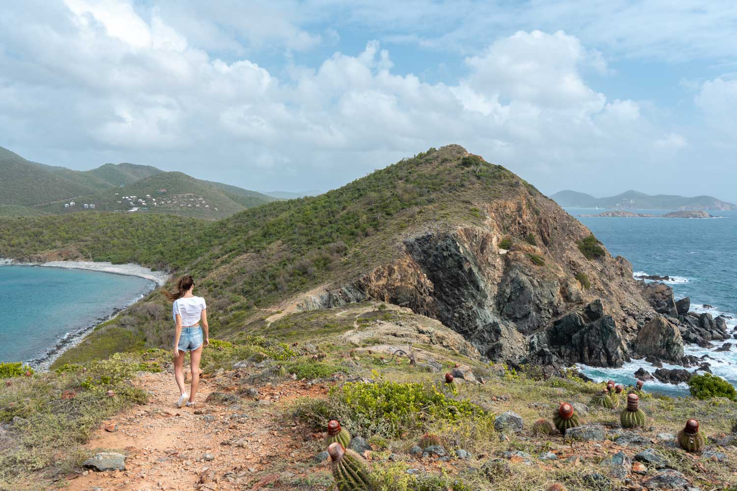 |
About: This trial begins at the southern end of Salt Pond Bay Beach. This rough walk leads to a blue stone beach before climbing back up the slope to a viewpoint 200 feet above the Caribbean Sea. When wandering near cliff edges, exercise extreme caution.The walk winds through cactus-dotted landscapes and coastal vegetation, finishing in a breathtaking cliffside vista. |
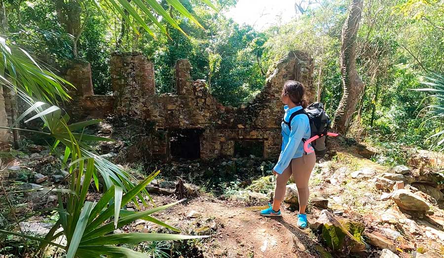
| Francis Bay Trial | Time/Miles: 0.3 miles, 15 minutes |
.jpeg) |
About:Francis Bay Trail begins with the Francis Bay Sugar Factory. It continues past the Mary's Point Estate house and around a salt pond. The dry tropical forest and salt pond are ideal places to see birds. The lowest section of the route is an accessible boardwalk that leads through the mangroves to the two viewing platforms. |
| Lind Point Trial | Time/Miles: 1.1 miles,1 hour |
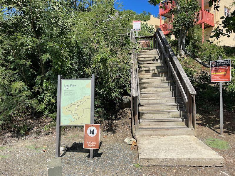 |
The Lind Point Trail begins immediately beyond the park's visitor center and ends with magnificent Honeymoon Bay or Solomon Bay. The route has various spurs, one of which leads to the viewpoint. Stop and relax on the bench while watching the boats pass by.Sit down and enjoy the view of the harbor. This is an excellent hike for individuals who want to stretch their legs or are just visiting St. John for a short period. |
| Cinnamon Bay Trial | Time/Miles: 1.1 miles,1 hour |
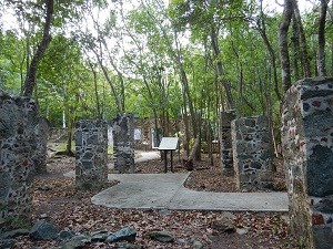 |
About: The Cinnamon Bay Nature Loop Trail and Cinnamon Bay Trail go past the remnants of Cinnamon Bay Plantation before ascending into the forest. Signs along the route give information on plants and animals, as well as life and culture on plantations. Cinnamon Bay Factory. These trials makes it an excellent alternative for people who want to get a taste of the St. John interior but are put off by the notion of a long journey across the typically mountainous and harsh terrain of the St. John Forest. |
| Reef Bay Trial | Time/ Miles: 2.2 miles, 2 hours |
 |
About:Reef Bay Trail is a difficult hike that leads you past some of the island's oldest and tallest trees. Along the hike, you'll see Danish sugar plantation ruins, stone walls from cattle grazing, and ancient rock engravings left by the pre-Colombian Taino. The trail ends with a stunning, fresh beach. During wet season, the waterfall may be breathtaking. |
| Hiking Tips/ Safety: | Bring lots of water and food, including ½ gallon water. Many paths have minimal (or no) cellphone coverage! Sunscreen is always suggested. Use Reef Safe sunscreen to help safeguard our coral reefs. Use insect repellant, particularly during the rainy season. Wear cool, relaxed clothes and good walking or climbing shoes. |